
Cutting urban carbon emissions by retrofitting buildings
Study shows that cities’ plans often won’t achieve their goals, but decarbonizing the local grid could make the difference.
Study shows that cities’ plans often won’t achieve their goals, but decarbonizing the local grid could make the difference.

Enjoy these recent titles from Institute faculty and staff.
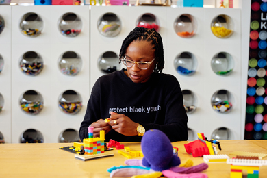
“The work I’m doing is deeply rooted in the belief that you can plant seeds in people,” says graduate student Cecilé Sadler.
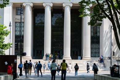
Ranking at the top for the 12th year in a row, the Institute also places first in 11 subject areas.

Over 600 students embark on MISTI experiences across 25 countries, with 20% of placements dedicated to climate and sustainability.
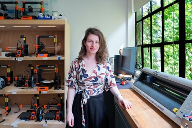
MIT Morningside Academy for Design Fellow Ganit Goldstein SM ’23 combines traditional craftsmanship and technology to transform the way clothes are produced and worn.
Critical needs for curbing greenhouse gases include non-fossil fuel aviation, buildings, electric grids, industrial processes, and the potential of fusion power.

C16 Biosciences, founded by MIT alumni, has developed a microbial oil to replace palm oil, whose production reaps environmental devastation.
MIT students share ideas, aspirations, and vision for how advances in computing stand to transform society in a competition hosted by the Social and Ethical Responsibilities of Computing.

MIT postdoc Ziv Epstein SM ’19, PhD ’23 discusses issues arising from the use of generative AI to make art and other media.
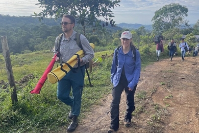
MIT Environmental Solutions Initiative Research Program Director Marcela Angel MCP ’18 has built an international program in natural climate solutions.

New online journal seeks to bring together the MIT community to discuss the social responsibilities of individuals who design, implement, and evaluate technologies.
As the inaugural director, Luu envisions the center as a resource that will complement faculty advising and support the “whole student” during their entire undergraduate career.

MIT’s Senseable City Lab popularized visual tools that show how cities work. A new book reflects on the promise of dynamic urban maps.