Until recently, when a Massachusetts shellfish warden needed to know how much rain had fallen overnight before deciding whether to close a shellfishing area, the process might look something like this: call a local resident who happened to own a rain gauge, ask for the measurement, write it down, and use that number to make the call. Heavy rain may cause a closure due to stormwater runoff that can carry pollutants from land to water. If the area closed, the public found out the same low-tech way: a paper notice at the boat ramp, a phone call, or word passed along at the marina.
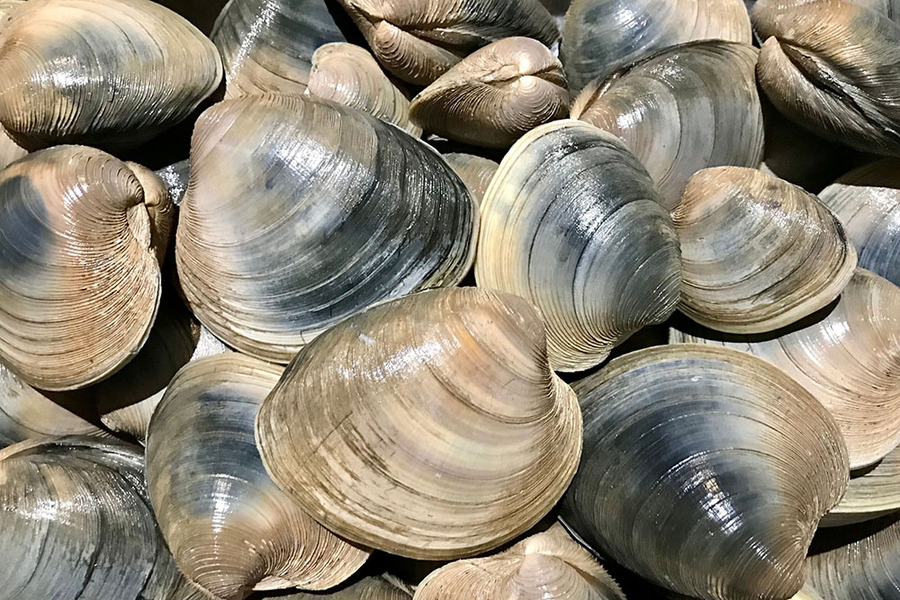
It’s a system built on trust between neighbors, but it doesn’t scale particularly well. According to the Massachusetts Division of Marine Fisheries’ 2024 Annual Report, Massachusetts shellfisheries yielded an ex-vessel value of over $441 million. This number includes shellfish spread across 738 classified growing areas along the coast that fall under a tangle of overlapping state and municipal jurisdictions. Add in thousands of recreational permit holders, and the old system starts to show its age.
With support from MIT’s Abdul Latif Jameel Water and Food Systems Lab (J-WAFS), MIT Sea Grant researchers have spent the past several years trying to close the gap between the data that exist and the data people can actually use. The effort was proposed to J-WAFS by Michael Triantafyllou, the Henry L. and Grace Doherty Professor in Ocean Science and Engineering and director of MIT Sea Grant, under the title “Cloud-Based Data Applications for Streamlining Natural Resource Management.”
The original aim of the proposal was to build a web-based system to help decision-making among managers and their stakeholders in order to support productivity of shellfisheries, safe human consumption, and vitality of coastal economies. The team wanted the platform to be scalable enough to serve the entire decision-making pipeline, from the state agency managing hundreds of growing areas down to an individual permit holder deciding whether it’s worth the drive to the water that day.
The result is a platform called Seashell. The team describes it as sitting at the intersection of big data, natural resource management, and what’s often called the blue economy — the sustainable use of ocean and coastal resources for economic growth — a phrase increasingly common in state and federal policy circles, and one Massachusetts has staked real ground on. Food security is a large part of the equation too. Many of these towns don’t just issue permits for sport; these areas are open so residents have shellfish to eat. When permit holders can trust a platform to tell them, in real time, whether an area is safe to harvest, that’s not just convenience. It’s local food supply staying reliable.
An old bottleneck, a new pipeline
The project’s origins trace back to 2020, when MIT Sea Grant Research Scientist Carolina Bastidas and her colleagues built a shellfish restoration webpage and noticed that propagation data was scattered and often misrepresented. Propagation isn’t a minor detail; it’s how many coastal towns support food security for residents, a fact that came into sharper focus during the Covid-19 pandemic, when recreational shellfishing demand rose sharply enough that some towns limited permit sales just to protect their beds.
That early work led to an informal working group with the Massachusetts Division of Marine Fisheries (DMF) and towns of Falmouth, Mashpee, and Nantucket well before any formal funding existed. “We already had engagement,” says Ben Bray, geospatial applications developer at MIT. “We already had a very real starting point.”
By the time J-WAFS awarded the team a seed grant in 2022, letters of support from DMF and all three towns were already in hand, each describing the same underlying problem: a lack of an efficient, shared way to track and communicate shellfishing area status.
Bray’s path to this work goes back two decades. He joined MIT Sea Grant in 2005 to help build an internal grant management system, and the job pulled him toward an idea he’d recently encountered in Thomas Friedman’s book “The World Is Flat”: that data tend to sit stranded on disconnected “islands,” reachable only through the right application programming interface (API).
The underlying architecture reflects that same philosophy of connecting, rather than replacing, existing systems. Seashell runs on a PostgreSQL database and Amazon Web Services cloud infrastructure, designed from the outset to be exportable — towns or states that want to run it on their own servers can do so. Rather than asking DMF or municipalities to abandon the tools they already use, the system pulls in data through APIs from a long list of sources: National Oceanic and Atmospheric Administration tide stations, satellite feeds for sea surface temperature and chlorophyll-a, local weather networks, and DMF’s own geographic information system.
Built with towns, not for them
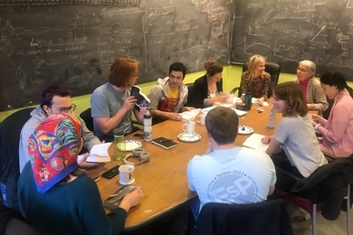
If Seashell has a defining trait, it’s that the towns using it had a hand in shaping nearly every piece of it. In 2023, the research team ran a regional assessment of the Massachusetts shellfishing community that drew responses from more than 312 people, 122 of whom volunteered for follow-up focus groups. In 2025, dedicated focus groups for both the public and administrative interfaces — described by Bastidas as involving anywhere from one to a handful of participants at a time — drove a final round of revisions before launch.
What the team learned sometimes cut against their own assumptions. “How little the end user wants to see and interact with” the data was the biggest surprise, Bray says. Focus group participants didn’t want a comprehensive dashboard of every growing area in the state; they wanted their own location, loaded automatically, with the fewest clicks possible. More simply, users wanted answers to questions such as: Is an area open? Is it high or low tide? What’s the water temperature? That preference reshaped the public interface around geolocation and minimal menu navigation, particularly for mobile use, allowing permit holders to check the system on their way out the door.
The towns themselves turned out to have sharply different needs, shaped largely by how many people they have on staff and who’s showing up at their docks. Many of these departments run on a skeleton crew with one or two staff, managing the entire permitting and enforcement operation. “All the organizations we work with are all understaffed,” Bray says. “I didn’t realize that going into this.”
That imbalance shaped something called the “Ways to Water” feature. Towns popular with seasonal and vacationing residents who buy a permit without knowing the local geography asked for a tool that could route users to the nearest shellfishing access points. They also wanted the tool to show parking availability, boat ramps, and travel time. This detail captures the blue economy dimension of the project well. Both tourism and traditional shellfishing for food security call for differing groups to share the same water and the same system, without necessarily sharing the same local knowledge.
Other requests were smaller, but no less telling. One shellfish officer asked simply whether the interface could be offered in different languages, a request the team is now addressing through built-in translation. It’s the kind of feature that doesn’t show up in a funding proposal’s list of objectives, but that turned out to matter a great deal to the people actually using the tool.
The relationship with DMF followed a different shape than the one with the towns. Where individual towns had fewer resources but could move quickly once they decided to adopt something, DMF moved more deliberately. “They had more ability than they had power,” Bray says of DMF staff, describing an agency with existing institutional constraints that limited the design approach the researchers could take. That distinction ultimately reshaped the project’s strategy: rather than building one system meant to unify DMF and every town under a single workflow, the team shifted toward treating towns and DMF as separate entities with distinct needs, while still syncing DMF’s official closure data into the platform automatically. Bray describes the process as investing effort where towns have the flexibility to adopt something new, rather than waiting on slower-moving state processes to catch up.
Rules, real-time data, and respecting jurisdiction
The system’s handling of jurisdiction is arguably its core technical achievement. DMF manages the baseline layer of the state’s 738 growing areas; individual towns manage sub-areas on top of that layer, closing sections for reasons ranging from water quality to family-designated harvesting zones reserved for local residents. Early on, the team assumed DMF would want to manage its polygons directly inside Seashell. DMF preferred to keep working in an existing ArcGIS system. So the MIT team adjusted, syncing Seashell to DMF’s existing records via API instead, and building in automatic alerts whenever DMF’s underlying data changed. It’s a small design decision with an outsized effect: DMF keeps full control of its own data while towns still benefit from updated, synced data.
The administrative interface goes a step further, pulling in real-time environmental data and using it to recommend closure decisions based on rules that towns configure themselves. It’s a direct stand-in for the old rain-gauge phone call, and it’s built to shrink the gap between when DMF issues a closure notice and when the public actually learns about it.
A rare bipartisan corner of ocean policy
Seashell officially launched at the 2026 Northeast Aquaculture Conference and Exposition in Portland, Maine, this past January. The team is scheduled to present at the Massachusetts Shellfish Officers Association’s meeting this October, betting that broader town-level adoption will reduce the confusion that crops up when neighboring towns operate on entirely different systems. Some towns’ shellfish officers are using Seashell while the next town over might still be working on paper.
Bray sees something durable in the subject matter itself, apart from the technology. “Shellfishing is one of the few things, in terms of the ocean, in terms of cultural communities, that is bipartisan,” he says. Bastidas points to the layered value of the resource, not just its economic footprint, but its role in food security and in traditions, including Indigenous shellfishing practices, that predate Massachusetts’ current regulatory system by centuries.
Looking ahead, the team is exploring an extension into commercial fisheries and landing-data reporting, building on related, town-driven effort. More broadly, the researchers see little about the underlying framework that’s specific to shellfishing. The same architecture, they argue, could serve any natural resource management problem with a geospatial and jurisdictional dimension: wildlife management, water quality, coastal permitting.
For Bray, who led his first funded research project through this J-WAFS grant, the work has doubled as a lesson in institutional collaboration as much as software design. The project helped him understand how fast and how much a large state agency can move versus a small town, and where to put the effort to balance both sides. “You have to figure out what an organization is capable of providing, and work within that,” he says, “while still trying to push things forward.”