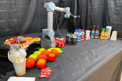
Robotic system zeroes in on objects most relevant for helping humans
A new approach could enable intuitive robotic helpers for household, workplace, and warehouse settings.
A new approach could enable intuitive robotic helpers for household, workplace, and warehouse settings.

MIT engineers developed ultrathin electronic films that sense heat and other signals, and could reduce the bulk of conventional goggles and scopes.
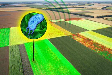
These bacteria, which could be designed to detect pollution or nutrients, could act as sensors to help farmers monitor their crops.
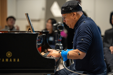
Connected by the MIT Human Insight Collaborative, Lecturer Mi-Eun Kim and Research Scientist Praneeth Namburi want to develop an understanding of musical expression and skill development.
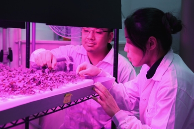
The innovation enables nondestructive iron tracking within plant tissues, helping to optimize plant nutrient management, reduce fertilizer waste, and improve crop health.
MIT researchers developed a fiber computer and networked several of them into a garment that learns to identify physical activities.
For the past decade, the Abdul Latif Jameel Water and Food Systems Lab has strengthened MIT faculty efforts in water and food research and innovation.
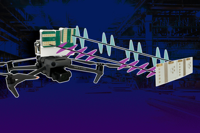
A new low-power system using radio frequency waves takes a major step toward autonomous, indoor drone navigation.

Butlr, founded by former Media Lab researchers, uses insights from thermal sensors to make buildings safe and efficient.
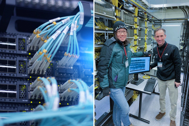
By making use of MIT’s existing fiber optic infrastructure, PhD student Hilary Chang imaged the ground underneath campus, a method that can be used to characterize seismic hazards.
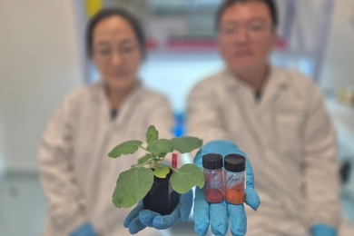
Sensors developed by SMART researchers are capable of detecting pH changes in plant xylem enable farmers to detect drought stress up to 48 hours before visible physical symptoms manifest.

The innovations map the ocean floor and the brain, prevent heat stroke and cognitive injury, expand AI processing and quantum system capabilities, and introduce new fabrication approaches.

“We are adding a new layer of control between the world of computers and what your eyes see,” says Barmak Heshmat, co-founder of Brelyon and a former MIT postdoc.

These zinc-air batteries, smaller than a grain of sand, could help miniscule robots sense and respond to their environment.