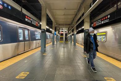
Professor Emeritus Ralph Gakenheimer, mobility planner and champion of international development, dies at 89
The longtime faculty member in the Department of Urban Studies and Planning leaves a lasting impact on infrastructure around the globe.
The longtime faculty member in the Department of Urban Studies and Planning leaves a lasting impact on infrastructure around the globe.

MIT historian Tristan Brown describes how China’s feng shui legacy can help with confronting today’s climate challenges.
The effort to accelerate climate work at the Institute adds to its leadership team.
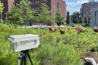
Increasing severity and duration of heat drives data collection and resiliency planning for the forthcoming Climate Resiliency and Adaptation Roadmap.

Erica Caple James’ new book examines the rise and struggles of a community organization helping Haitians settle in Boston.
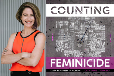
In her new book, “Counting Feminicide,” D’Ignazio explores how activists have tabulated the epidemic of gender-based murder in Latin America.
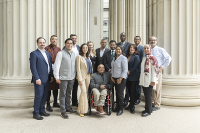
The MIT Special Program for Urban and Regional Studies has hosted more than 750 mid-career individuals from 135 nations who are or will be shaping policy in their home countries.
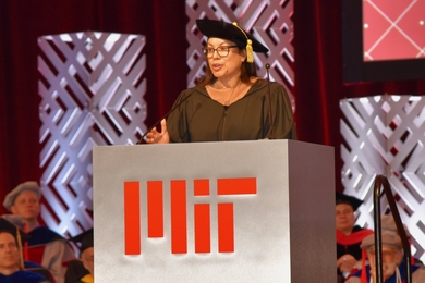
“Design is not a luxury,” the Gensler global co-chair told advanced degree recipients. “It’s for everyone, everywhere.”
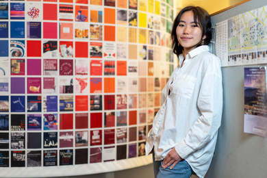
At MIT and internationally, senior Cindy Xie works to bring people together for the health of humanity and the planet.

Graduate student Nolen Scruggs works with a local tenant association to address housing inequality as part of the MIT Initiative on Combatting Systemic Racism.

Christopher Wang, a senior in EECS, shares his favorite study spaces, how he discovered theater at the Institute, and what he'll miss most.

When the senior isn’t using mathematical and computational methods to boost driverless vehicles and fairer voting, she performs with MIT’s many dance groups to keep her on track.
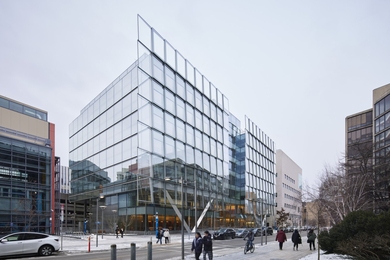
The MIT Schwarzman College of Computing building will form a new cluster of connectivity across a spectrum of disciplines in computing and artificial intelligence.
A new study finds sustained pattern changes — with a lot of regional variation.

In order to recycle construction materials, keep them close to home, a new study of Amsterdam suggests.