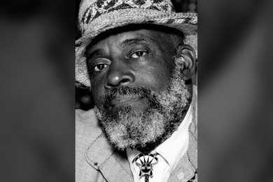
Mel King Community Fellowship Program upholds the late civil rights activist’s legacy
Created by community organizer and MIT adjunct professor emeritus Mel King, the program continues to empower and connect changemakers.
Created by community organizer and MIT adjunct professor emeritus Mel King, the program continues to empower and connect changemakers.

Beloved mentor and colleague, who died at 94 on March 28, leaves behind a profound legacy at MIT, in Boston, and beyond.

Projects, publications, and academia-industry networks produce pathways for the real estate industry to address the climate crisis.

Flavio Emilio Vila Skrzypek, a graduate student in the Department of Urban Studies and Planning, wants to design cities without inequities.

Open-source tool from MIT’s Senseable City Lab lets people check air quality, cheaply.

Most cities don’t map their own pedestrian networks. Now, researchers have built the first open-source tool to let planners do just that.


Study: Even chess experts perform worse when air quality is lower, suggesting a negative effect on cognition.

New research quantifies how much very hot temperatures restrict outdoor activity in China.

University placements through MISTI aim to contribute to Africa’s growing research ecosystems.

Inaugural WORLDING workshops matched world-class climate story teams with relevant labs and researchers across MIT.
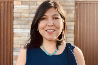
Lane leaves a lasting legacy at the Institute and on tribal communities around the country.
A new study suggests mobile data collected while traveling over bridges could help evaluate their integrity.
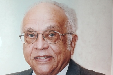
The first African American to receive tenure at MIT, Jones championed greater diversity and inclusion at the Institute and beyond.
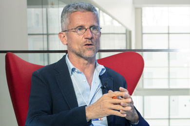
Carlo Ratti investigates how digital technologies transform our urban spaces and how they can be harnessed to design sustainable cities for the future.